 vesseltracker.com
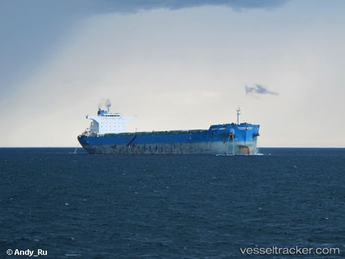
Vessel Glory Energy IMO: 9528639, MMSI: 477950500 Bulk Carrier
UTC, 4.89500, -1.74158, course: 75, speed: 0
UTC, 4.89498, -1.74160, course: 75, speed: 0
2026-01-31 07:33:11 UTC, 4.89498, -1.74158, course: 75, speed: 0
Live AIS position:
UTC. Near Takoradi),
updated 2026-01-31 07:33:11 UTC.
Find the position of the vessel Glory Energy on the map. The latter are known coordinates and path.
marine traffic ship tracker show on live map
The current position of vessel Glory Energy is 4.89498 lat / -1.74158 lng. Updated: 2026-01-31 07:33:11 UTCCurrently sailing under the flag of Hong Kong
Details:
Last coordinates of the vessel:
UTC, 4.89497, -1.74155, course: 76, speed: 0UTC, 4.89500, -1.74158, course: 75, speed: 0
UTC, 4.89498, -1.74160, course: 75, speed: 0
2026-01-31 07:33:11 UTC, 4.89498, -1.74158, course: 75, speed: 0