 vesseltracker.com
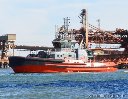
Vessel Iron Kestrel IMO: 9784958, MMSI: 503000109 Tug
UTC, -20.24552, 118.56991, course: 316, speed: 7.7
UTC, -20.19922, 118.53402, course: 4, speed: 1.2
2026-01-30 08:22:24 UTC, -20.31470, 118.56956, course: 261, speed: 0.1
Live AIS position:
UTC. Near Port Headland),
updated 2026-01-30 08:22:24 UTC.
Find the position of the vessel Iron Kestrel on the map. The latter are known coordinates and path.
marine traffic ship tracker show on live map
The current position of vessel Iron Kestrel is -20.31470 lat / 118.56956 lng. Updated: 2026-01-30 08:22:24 UTCCurrently sailing under the flag of Australia
Details:
Last coordinates of the vessel:
UTC, -20.30375, 118.56958, course: 241, speed: 3.3UTC, -20.24552, 118.56991, course: 316, speed: 7.7
UTC, -20.19922, 118.53402, course: 4, speed: 1.2
2026-01-30 08:22:24 UTC, -20.31470, 118.56956, course: 261, speed: 0.1