 vesseltracker.com
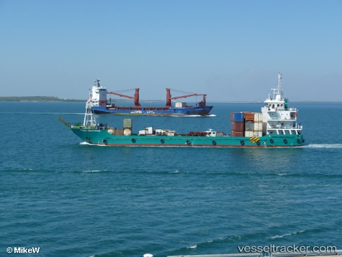
Vessel Territorian IMO: 9607942, MMSI: 503779000 Landing Craft
UTC, -11.95667, 131.12167, course: -1, speed: 11
UTC, -11.84666, 131.23833, course: -1, speed: 11
2026-01-16 11:21:34 UTC, -11.67333, 131.43167, course: -1, speed: 11
Live AIS position:
UTC. 28 nm SW of Cape Don),
updated 2026-01-16 11:21:34 UTC.
Find the position of the vessel Territorian on the map. The latter are known coordinates and path.
marine traffic ship tracker show on live map
The current position of vessel Territorian is -11.67333 lat / 131.43167 lng. Updated: 2026-01-16 11:21:34 UTCCurrently sailing under the flag of Australia
Details:
Last coordinates of the vessel:
UTC, -12.18167, 130.86501, course: -1, speed: 10UTC, -11.95667, 131.12167, course: -1, speed: 11
UTC, -11.84666, 131.23833, course: -1, speed: 11
2026-01-16 11:21:34 UTC, -11.67333, 131.43167, course: -1, speed: 11