 vesseltracker.com
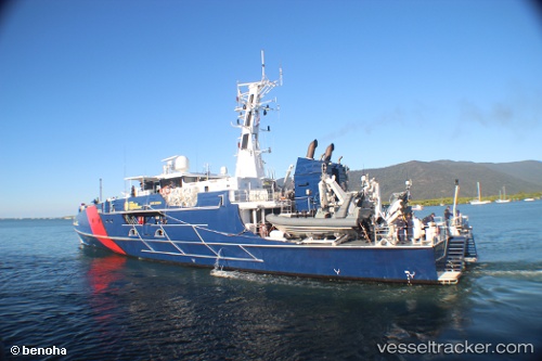
Vessel Border Force Cutter IMO: 9684562, MMSI: 503792000 Patrol Vessel
Live AIS position:
UTC. Near Cockatoo Island),
updated 2026-02-21 05:12:50 UTC.
Find the position of the vessel Border Force Cutter on the map. The latter are known coordinates and path.
marine traffic ship tracker show on live map
The current position of vessel Border Force Cutter is -16.11968 lat / 123.54421 lng. Updated: 2026-02-21 05:12:50 UTCCurrently sailing under the flag of Australia
Border Force Cutter built in 2014 year
Deadweight:
80 tDetails:
Last coordinates of the vessel:
2026-02-21 05:12:50 UTC, -16.11968, 123.54421, course: 283, speed: 12.5