 vesseltracker.com
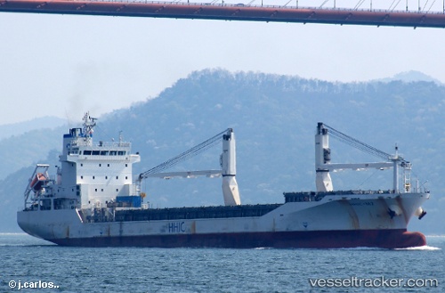
Vessel BENIGANE IMO: 9455600, MMSI: 511100389 General Cargo Ship
UTC, 31.85253, 34.58668, course: 283, speed: 0.1
UTC, 31.85226, 34.58658, course: 298, speed: 0.2
2026-03-01 09:42:02 UTC, 31.85194, 34.58649, course: 307, speed: 0.1
Live AIS position:
UTC. Near Ashdod),
updated 2026-03-01 09:42:02 UTC.
Find the position of the vessel BENIGANE on the map. The latter are known coordinates and path.
marine traffic ship tracker show on live map
The current position of vessel BENIGANE is 31.85194 lat / 34.58649 lng. Updated: 2026-03-01 09:42:02 UTCCurrently sailing under the flag of Palau (Republic of)
BENIGANE built in 2008 year
Deadweight:
11981 tDetails:
Last coordinates of the vessel:
UTC, 31.85365, 34.58574, course: 196, speed: 0.1UTC, 31.85253, 34.58668, course: 283, speed: 0.1
UTC, 31.85226, 34.58658, course: 298, speed: 0.2
2026-03-01 09:42:02 UTC, 31.85194, 34.58649, course: 307, speed: 0.1