 vesseltracker.com
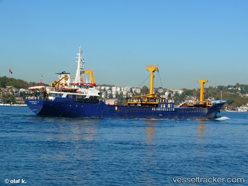
Find the position of the vessel KARADENIZ 5 on the map. The latter are known coordinates and path.
marine traffic ship tracker show on live map
The current position of vessel KARADENIZ 5 is 40.4396 lat / 29.1238 lng. Updated: 2024-05-01 01:26:42 UTCCurrently sailing under the flag of Palau (Republic of)
KARADENIZ 5 built in 1981 year
Deadweight:
1875 tDetails:
Last coordinates of the vessel:
UTC, 40.4399, 29.1236, course: 50, speed: 0.3UTC, 40.4401, 29.1235, course: 88, speed: 0.2
UTC, 40.4406, 29.1244, course: 200, speed: 0.1
2024-05-01 01:26:42 UTC, 40.4396, 29.1238, course: 14, speed: 0.3