 vesseltracker.com
Find the position of the vessel PGE LILY on the map. The latter are known coordinates and path.
marine traffic ship tracker show on live map
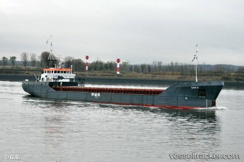
The current position of vessel PGE LILY is 40.865615 lat / 29.199623333333 lng. Updated: 2025-10-02 11:22:02 UTCCurrently sailing under the flag of Palau (Republic of)
PGE LILY built in 1991 year
Deadweight:
1820 tDetails:
Last coordinates of the vessel:
UTC, 40.865983333333, 29.199485, course: 72, speed: 0.1UTC, 40.86625, 29.199311666667, course: 95, speed: 0.1
UTC, 40.865651666667, 29.199845, course: 48, speed: 0
2025-10-02 11:22:02 UTC, 40.865615, 29.199623333333, course: 42, speed: 0.2