 vesseltracker.com
Find the position of the vessel ADAM A on the map. The latter are known coordinates and path.
marine traffic ship tracker show on live map
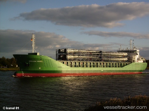
The current position of vessel ADAM A is 40.8606 lat / 28.4024 lng. Updated: 2024-04-27 17:30:16 UTCCurrently sailing under the flag of Palau
ADAM A built in 1995 year
Deadweight:
28458 tPayload_mass:
28458 tonneGross tonnage:
17429Service entry:
1995-01-01T00:00:00ZManufacturer:
Kanda DockyardDetails:
Last coordinates of the vessel:
UTC, 40.9452, 28.8882, course: 27, speed: 0.1UTC, 40.8871, 28.6344, course: 261, speed: 11.2
UTC, 40.8871, 28.6344, course: 261, speed: 11.2
2024-04-27 17:30:16 UTC, 40.8606, 28.4024, course: 259, speed: 11.3
The ship also appears on the maps: