 vesseltracker.com
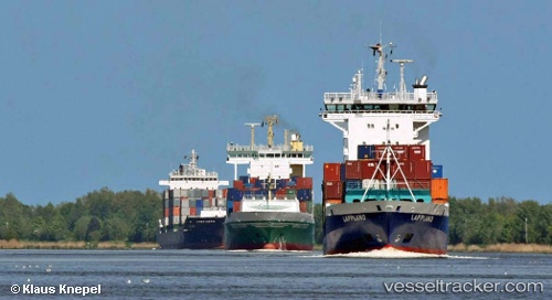
Vessel Greetje IMO: 9186388, MMSI: 511100833 Container Ship
UTC, 31.35131, 32.33631, course: 309, speed: 3.7
UTC, 31.35145, 32.33643, course: 301, speed: 2.2
2026-01-14 07:43:46 UTC, 31.47891, 32.34595, course: 337, speed: 7.6
Live AIS position:
UTC. 13 nm N of Port Said),
updated 2026-01-14 07:43:46 UTC.
Find the position of the vessel Greetje on the map. The latter are known coordinates and path.
marine traffic ship tracker show on live map
The current position of vessel Greetje is 31.47891 lat / 32.34595 lng. Updated: 2026-01-14 07:43:46 UTCCurrently sailing under the flag of Netherlands
Greetje built in 1998 year
Deadweight:
6862 tDetails:
Last coordinates of the vessel:
UTC, 31.35127, 32.33623, course: 309, speed: 1.5UTC, 31.35131, 32.33631, course: 309, speed: 3.7
UTC, 31.35145, 32.33643, course: 301, speed: 2.2
2026-01-14 07:43:46 UTC, 31.47891, 32.34595, course: 337, speed: 7.6