 vesseltracker.com
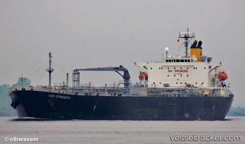
Find the position of the vessel MANTA on the map. The latter are known coordinates and path.
marine traffic ship tracker show on live map
The current position of vessel MANTA is 59.8178 lat / 28.4151 lng. Updated: 2025-05-31 22:38:48 UTCCurrently sailing under the flag of Palau
MANTA built in 2009 year
Speed:
15.7 knotDeadweight:
46592 tPayload_mass:
46592 tonneGross tonnage:
28231Service entry:
2009-01-01T00:00:00ZDetails:
Last coordinates of the vessel:
UTC, 59.8167, 28.4154, course: 283, speed: 0.1UTC, 59.8166, 28.4152, course: 293, speed: 0.1
UTC, 59.8172, 28.4155, course: 267, speed: 0.2
2025-05-31 22:38:48 UTC, 59.8178, 28.4151, course: 241, speed: 0
Track of the vessel in the last 14 days
The ship also appears on the maps: