 vesseltracker.com
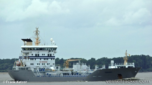
Find the position of the vessel LADY AMIRA 1 on the map. The latter are known coordinates and path.
marine traffic ship tracker show on live map
The current position of vessel LADY AMIRA 1 is 25.4687 lat / 55.4832 lng. Updated: 2025-09-12 07:32:36 UTCCurrently sailing under the flag of Palau
LADY AMIRA 1 built in 2003 year
Deadweight:
14803 tDetails:
Last coordinates of the vessel:
UTC, 25.4687, 55.4832, course: 211, speed: 0UTC, 25.4687, 55.4832, course: 211, speed: 0
UTC, 25.4687, 55.4832, course: 211, speed: 0
2025-09-12 07:32:36 UTC, 25.4687, 55.4832, course: 211, speed: 0