 vesseltracker.com
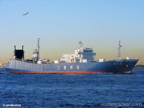
Vessel ELGA IMO: 9153745, MMSI: 511101333 Ro-Ro Cargo
UTC, 43.25271, 132.49223, course: 14, speed: 51.1
UTC, 43.25783, 132.49098, course: 11, speed: 0
2026-01-31 09:45:54 UTC, 43.25783, 132.49098, course: 11, speed: 0
Live AIS position:
UTC. 11 nm NE of BOLSHOY KAMEN),
updated 2026-01-31 09:45:54 UTC.
Find the position of the vessel ELGA on the map. The latter are known coordinates and path.
marine traffic ship tracker show on live map
The current position of vessel ELGA is 43.25783 lat / 132.49098 lng. Updated: 2026-01-31 09:45:54 UTCCurrently sailing under the flag of Togo
ELGA built in 1996 year
Deadweight:
2768 tDetails:
Last coordinates of the vessel:
UTC, 43.25303, 132.49530, course: 22, speed: 48.2UTC, 43.25271, 132.49223, course: 14, speed: 51.1
UTC, 43.25783, 132.49098, course: 11, speed: 0
2026-01-31 09:45:54 UTC, 43.25783, 132.49098, course: 11, speed: 0