 vesseltracker.com
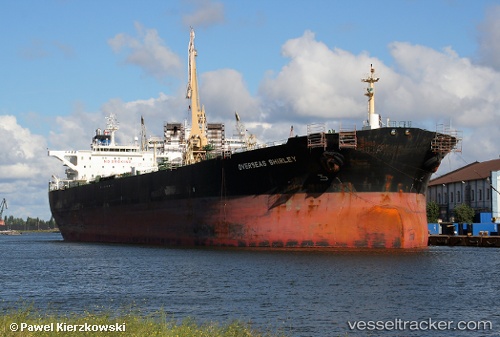
Vessel TELESTO IMO: 9213296, MMSI: 511101917 Crude Oil Tanker
UTC, 10.75447, -71.55253, course: -1, speed: 0
UTC, 10.75447, -71.55253, course: -1, speed: 0
2026-02-27 15:58:59 UTC, 10.75447, -71.55253, course: -1, speed: 0
Live AIS position:
UTC. Near Puerto Miranda),
updated 2026-02-27 15:58:59 UTC.
Find the position of the vessel TELESTO on the map. The latter are known coordinates and path.
marine traffic ship tracker show on live map
The current position of vessel TELESTO is 10.75447 lat / -71.55253 lng. Updated: 2026-02-27 15:58:59 UTCCurrently sailing under the flag of Palau
Details:
Last coordinates of the vessel:
UTC, 10.75448, -71.55255, course: -1, speed: 0UTC, 10.75447, -71.55253, course: -1, speed: 0
UTC, 10.75447, -71.55253, course: -1, speed: 0
2026-02-27 15:58:59 UTC, 10.75447, -71.55253, course: -1, speed: 0