 vesseltracker.com
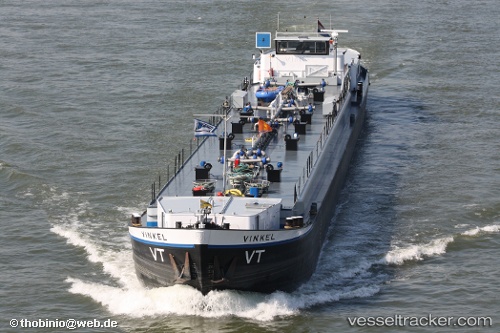
Vessel Akiko IMO: 1009211, MMSI: 518100358 Service Ship
UTC, -27.86356, 153.33871, course: 101, speed: 0
UTC, -27.86333, 153.33833, course: -1, speed: 0
2026-01-14 23:46:29 UTC, -27.86355, 153.33868, course: 100, speed: 0
Live AIS position:
UTC. Near HOPE ISLAND),
updated 2026-01-14 23:46:29 UTC.
Find the position of the vessel Akiko on the map. The latter are known coordinates and path.
marine traffic ship tracker show on live map
The current position of vessel Akiko is -27.86355 lat / 153.33868 lng. Updated: 2026-01-14 23:46:29 UTCCurrently sailing under the flag of Cook Is
Akiko built in 2007 year
Details:
Last coordinates of the vessel:
UTC, -27.86354, 153.33871, course: 101, speed: 0UTC, -27.86356, 153.33871, course: 101, speed: 0
UTC, -27.86333, 153.33833, course: -1, speed: 0
2026-01-14 23:46:29 UTC, -27.86355, 153.33868, course: 100, speed: 0