 vesseltracker.com
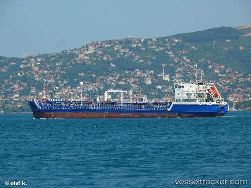
Find the position of the vessel Gloster 1 on the map. The latter are known coordinates and path.
marine traffic ship tracker show on live map
The current position of vessel Gloster 1 is 38.4291 lat / 27.098 lng. Updated: 2025-09-06 21:41:43 UTCCurrently sailing under the flag of Cook Is
Details:
Last coordinates of the vessel:
UTC, 38.429, 27.0979, course: 32, speed: 0.2UTC, 38.4299, 27.0974, course: 80, speed: 0.1
UTC, 38.4295, 27.0973, course: 61, speed: 0.2
2025-09-06 21:41:43 UTC, 38.4291, 27.098, course: 16, speed: 0.1