 vesseltracker.com
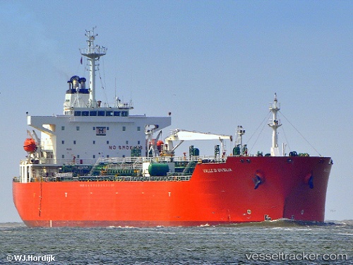
Find the position of the vessel MARBEL on the map. The latter are known coordinates and path.
marine traffic ship tracker show on live map
The current position of vessel MARBEL is 40.8388 lat / 29.2829 lng. Updated: 2025-03-17 08:45:29 UTCCurrently sailing under the flag of Cook islands
MARBEL built in 2001 year
Deadweight:
42721 tPayload_mass:
42721 tonneGross tonnage:
25063Service entry:
2001-01-01T00:00:00ZManufacturer:
Hyundai Mipo Dockyard (South Korean shipbuilding company)Details:
Last coordinates of the vessel:
2025-03-17 08:45:29 UTC, 40.8388, 29.2829, course: 309, speed: 0