 vesseltracker.com
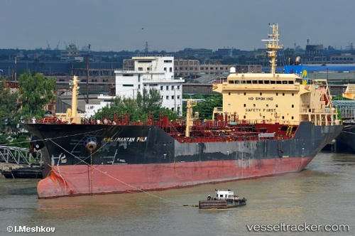
Find the position of the vessel Kalimantan Palm on the map. The latter are known coordinates and path.
marine traffic ship tracker show on live map
The current position of vessel Kalimantan Palm is 1.2426333333333 lat / 104.110665 lng. Updated: 2025-11-08 08:36:33 UTCDetails:
Last coordinates of the vessel:
UTC, 1.2740333333333, 103.74615, course: 136, speed: 5.8UTC, 1.217, 103.79481666667, course: 151, speed: 6.9
UTC, 1.22365, 103.95703333333, course: 72, speed: 12.2
2025-11-08 08:36:33 UTC, 1.2426333333333, 104.110665, course: 86, speed: 12.8