 vesseltracker.com
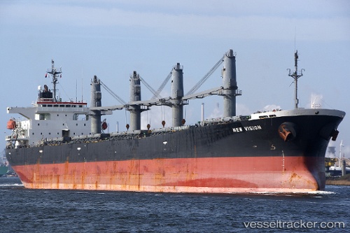
Vessel Srikandi Indonesia19 IMO: 9186778, MMSI: 525003511 Bulk Carrier
UTC, -5.93884, 106.13625, course: -1, speed: 0
2026-02-13 17:23:22 UTC, -5.93884, 106.13625, course: -1, speed: 0
Live AIS position:
UTC. Near CILEGON),
updated 2026-02-13 17:23:22 UTC.
Find the position of the vessel Srikandi Indonesia19 on the map. The latter are known coordinates and path.
marine traffic ship tracker show on live map
The current position of vessel Srikandi Indonesia19 is -5.93884 lat / 106.13625 lng. Updated: 2026-02-13 17:23:22 UTCCurrently sailing under the flag of Indonesia
Srikandi Indonesia19 built in 1999 year
Deadweight:
48221 tDetails:
Last coordinates of the vessel:
UTC, -5.93884, 106.13625, course: -1, speed: 0UTC, -5.93884, 106.13625, course: -1, speed: 0
2026-02-13 17:23:22 UTC, -5.93884, 106.13625, course: -1, speed: 0