 vesseltracker.com
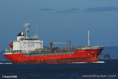
Vessel Erawan 12 IMO: 9301366, MMSI: 525003643 Chemical Oil Products Tanker
UTC, -5.89573, 105.98984, course: 351, speed: 0
UTC, -5.89589, 105.99016, course: 345, speed: 0
2026-01-27 20:19:23 UTC, -5.89567, 105.98940, course: 3, speed: 0
Live AIS position:
UTC. Near MERAK),
updated 2026-01-27 20:19:23 UTC.
Find the position of the vessel Erawan 12 on the map. The latter are known coordinates and path.
marine traffic ship tracker show on live map
The current position of vessel Erawan 12 is -5.89567 lat / 105.98940 lng. Updated: 2026-01-27 20:19:23 UTCCurrently sailing under the flag of Indonesia
Details:
Last coordinates of the vessel:
UTC, -5.89544, 105.99054, course: 321, speed: 0UTC, -5.89573, 105.98984, course: 351, speed: 0
UTC, -5.89589, 105.99016, course: 345, speed: 0
2026-01-27 20:19:23 UTC, -5.89567, 105.98940, course: 3, speed: 0