 vesseltracker.com
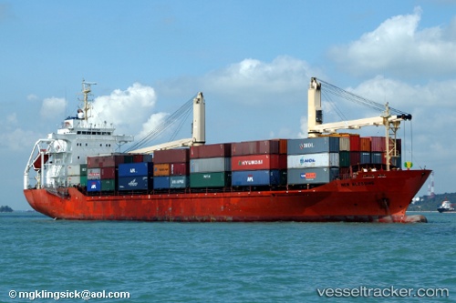
Vessel Hijau Sejuk IMO: 9155523, MMSI: 525005319 Container Ship
UTC, -2.25088, 135.10915, course: -1, speed: 8.3
UTC, -2.50571, 135.21500, course: -1, speed: 8.6
2026-02-18 15:42:50 UTC, -2.82612, 135.35355, course: -1, speed: 8.3
Live AIS position:
UTC. 28 nm NW of NABIRE),
updated 2026-02-18 15:42:50 UTC.
Find the position of the vessel Hijau Sejuk on the map. The latter are known coordinates and path.
marine traffic ship tracker show on live map
The current position of vessel Hijau Sejuk is -2.82612 lat / 135.35355 lng. Updated: 2026-02-18 15:42:50 UTCDetails:
Last coordinates of the vessel:
UTC, -2.04846, 135.02235, course: -1, speed: 8.5UTC, -2.25088, 135.10915, course: -1, speed: 8.3
UTC, -2.50571, 135.21500, course: -1, speed: 8.6
2026-02-18 15:42:50 UTC, -2.82612, 135.35355, course: -1, speed: 8.3