 vesseltracker.com
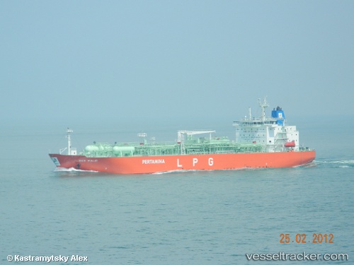
Vessel Gas Walio IMO: 9590670, MMSI: 525008072 Lpg Tanker
UTC, -6.10144, 106.90588, course: 1, speed: 0
UTC, -6.10151, 106.90587, course: 1, speed: 0
2026-02-24 23:29:32 UTC, -6.10147, 106.90588, course: 1, speed: 0
Live AIS position:
UTC. Near Semper),
updated 2026-02-24 23:29:32 UTC.
Find the position of the vessel Gas Walio on the map. The latter are known coordinates and path.
marine traffic ship tracker show on live map
The current position of vessel Gas Walio is -6.10147 lat / 106.90588 lng. Updated: 2026-02-24 23:29:32 UTCCurrently sailing under the flag of Indonesia
Details:
Last coordinates of the vessel:
UTC, -6.10150, 106.90590, course: 1, speed: 0UTC, -6.10144, 106.90588, course: 1, speed: 0
UTC, -6.10151, 106.90587, course: 1, speed: 0
2026-02-24 23:29:32 UTC, -6.10147, 106.90588, course: 1, speed: 0