 vesseltracker.com
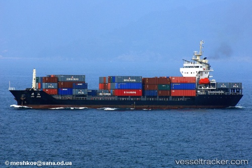
Vessel Sinar Papua IMO: 9345001, MMSI: 525009351 Multi Purpose Carrier
UTC, -7.20307, 112.72464, course: 298, speed: 0
UTC, -7.20307, 112.72462, course: 299, speed: 0
2026-01-28 22:08:28 UTC, -7.20308, 112.72462, course: 298, speed: 0
Live AIS position:
UTC. Near Tanjung Perak),
updated 2026-01-28 22:08:28 UTC.
Find the position of the vessel Sinar Papua on the map. The latter are known coordinates and path.
marine traffic ship tracker show on live map
The current position of vessel Sinar Papua is -7.20308 lat / 112.72462 lng. Updated: 2026-01-28 22:08:28 UTCCurrently sailing under the flag of Indonesia
Sinar Papua built in 2005 year
Deadweight:
7624 tDetails:
Last coordinates of the vessel:
UTC, -7.20167, 112.72333, course: -1, speed: 0UTC, -7.20307, 112.72464, course: 298, speed: 0
UTC, -7.20307, 112.72462, course: 299, speed: 0
2026-01-28 22:08:28 UTC, -7.20308, 112.72462, course: 298, speed: 0