 vesseltracker.com
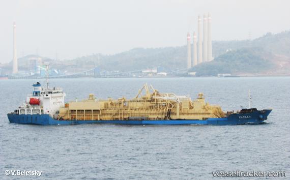
Vessel Camilla IMO: 8730895, MMSI: 525012370 Cement Carrier
UTC, 1.06812, 104.21278, course: -1, speed: 0.5
UTC, 1.06812, 104.21278, course: -1, speed: 0.5
2026-02-13 00:25:48 UTC, 1.06812, 104.21278, course: -1, speed: 0.5
Live AIS position:
UTC. Near TANJUNGUBAN),
updated 2026-02-13 00:25:48 UTC.
Find the position of the vessel Camilla on the map. The latter are known coordinates and path.
marine traffic ship tracker show on live map
The current position of vessel Camilla is 1.06812 lat / 104.21278 lng. Updated: 2026-02-13 00:25:48 UTCDetails:
Last coordinates of the vessel:
UTC, 1.06812, 104.21278, course: -1, speed: 0.5UTC, 1.06812, 104.21278, course: -1, speed: 0.5
UTC, 1.06812, 104.21278, course: -1, speed: 0.5
2026-02-13 00:25:48 UTC, 1.06812, 104.21278, course: -1, speed: 0.5