 vesseltracker.com
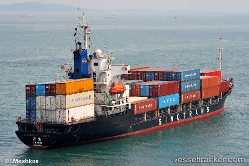
Vessel Tanto Alam IMO: 9085699, MMSI: 525013027 Container Ship
UTC, -7.20580, 112.72718, course: -1, speed: 0
UTC, -7.20582, 112.72717, course: -1, speed: 0
2026-02-02 20:27:05 UTC, -7.20583, 112.72715, course: -1, speed: 0
Live AIS position:
UTC. Near Tanjung Perak),
updated 2026-02-02 20:27:05 UTC.
Find the position of the vessel Tanto Alam on the map. The latter are known coordinates and path.
marine traffic ship tracker show on live map
The current position of vessel Tanto Alam is -7.20583 lat / 112.72715 lng. Updated: 2026-02-02 20:27:05 UTCCurrently sailing under the flag of Indonesia
Tanto Alam built in 1994 year
Deadweight:
5880 tDetails:
Last coordinates of the vessel:
UTC, -7.20577, 112.72717, course: -1, speed: 0UTC, -7.20580, 112.72718, course: -1, speed: 0
UTC, -7.20582, 112.72717, course: -1, speed: 0
2026-02-02 20:27:05 UTC, -7.20583, 112.72715, course: -1, speed: 0