 vesseltracker.com
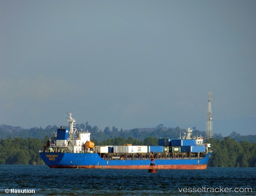
Vessel Tanto Manis IMO: 9683520, MMSI: 525013030 Container Ship
UTC, -6.10500, 106.87667, course: -1, speed: 0
UTC, -6.10557, 106.87741, course: -1, speed: 0
2026-01-13 18:35:45 UTC, -6.10558, 106.87739, course: -1, speed: 0
Live AIS position:
UTC. Near Jakarta),
updated 2026-01-13 18:35:45 UTC.
Find the position of the vessel Tanto Manis on the map. The latter are known coordinates and path.
marine traffic ship tracker show on live map
The current position of vessel Tanto Manis is -6.10558 lat / 106.87739 lng. Updated: 2026-01-13 18:35:45 UTCCurrently sailing under the flag of Indonesia
Details:
Last coordinates of the vessel:
UTC, -6.10555, 106.87741, course: -1, speed: 0UTC, -6.10500, 106.87667, course: -1, speed: 0
UTC, -6.10557, 106.87741, course: -1, speed: 0
2026-01-13 18:35:45 UTC, -6.10558, 106.87739, course: -1, speed: 0