 vesseltracker.com
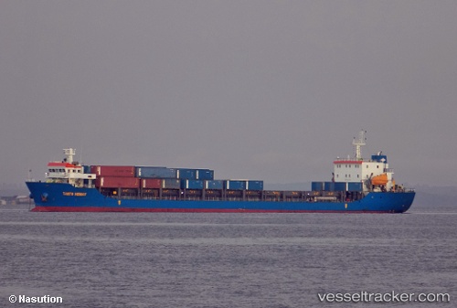
Vessel Mv.tanto Hemat IMO: 9714202, MMSI: 525013035 General Cargo Ship
UTC, -6.10497, 106.87430, course: -1, speed: 0
UTC, -6.10496, 106.87430, course: -1, speed: 0
2026-03-02 19:27:50 UTC, -6.04174, 106.88070, course: -1, speed: 8.6
Live AIS position:
UTC. Near New Priok Port),
updated 2026-03-02 19:27:50 UTC.
Find the position of the vessel Mv.tanto Hemat on the map. The latter are known coordinates and path.
marine traffic ship tracker show on live map
The current position of vessel Mv.tanto Hemat is -6.04174 lat / 106.88070 lng. Updated: 2026-03-02 19:27:50 UTCCurrently sailing under the flag of Indonesia
Details:
Last coordinates of the vessel:
UTC, -6.10333, 106.87333, course: -1, speed: 0UTC, -6.10497, 106.87430, course: -1, speed: 0
UTC, -6.10496, 106.87430, course: -1, speed: 0
2026-03-02 19:27:50 UTC, -6.04174, 106.88070, course: -1, speed: 8.6