 vesseltracker.com
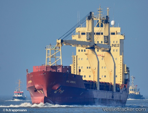
Vessel Mv.tanto Bagus IMO: 9210725, MMSI: 525013046 Multi Purpose Carrier
UTC, -1.20952, 122.62979, course: 339, speed: 0.1
UTC, -1.20950, 122.62974, course: 339, speed: 0.1
2026-02-19 17:26:05 UTC, -1.20954, 122.62975, course: 340, speed: 0
Live AIS position:
UTC. Near Tangkiang),
updated 2026-02-19 17:26:05 UTC.
Find the position of the vessel Mv.tanto Bagus on the map. The latter are known coordinates and path.
marine traffic ship tracker show on live map
The current position of vessel Mv.tanto Bagus is -1.20954 lat / 122.62975 lng. Updated: 2026-02-19 17:26:05 UTCDetails:
Last coordinates of the vessel:
UTC, -1.20950, 122.62974, course: 339, speed: 0.1UTC, -1.20952, 122.62979, course: 339, speed: 0.1
UTC, -1.20950, 122.62974, course: 339, speed: 0.1
2026-02-19 17:26:05 UTC, -1.20954, 122.62975, course: 340, speed: 0