 vesseltracker.com
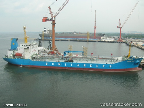
Vessel Mt.bumi Indonesia IMO: 9182825, MMSI: 525014017 Oil Products Tanker
UTC, -6.02664, 106.91075, course: 337, speed: 0.1
UTC, -6.02607, 106.90975, course: 74, speed: 0.1
2026-02-02 17:47:59 UTC, -6.02630, 106.91130, course: 301, speed: 0.2
Live AIS position:
UTC. Near New Priok Port),
updated 2026-02-02 17:47:59 UTC.
Find the position of the vessel Mt.bumi Indonesia on the map. The latter are known coordinates and path.
marine traffic ship tracker show on live map
The current position of vessel Mt.bumi Indonesia is -6.02630 lat / 106.91130 lng. Updated: 2026-02-02 17:47:59 UTCDetails:
Last coordinates of the vessel:
UTC, -6.02652, 106.91094, course: 327, speed: 0.1UTC, -6.02664, 106.91075, course: 337, speed: 0.1
UTC, -6.02607, 106.90975, course: 74, speed: 0.1
2026-02-02 17:47:59 UTC, -6.02630, 106.91130, course: 301, speed: 0.2