 vesseltracker.com
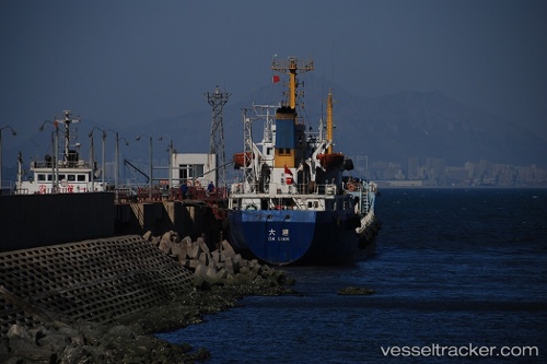
Vessel Tanto Lestari IMO: 8812746, MMSI: 525016495 Container Ship
UTC, -6.91448, 112.72671, course: -1, speed: 8.3
UTC, -6.91448, 112.72671, course: -1, speed: 8.3
2026-03-09 17:25:53 UTC, -6.91448, 112.72671, course: -1, speed: 8.3
Live Vessel Tanto Lestari Analytics (details, animations, etc.)
Live AIS position: UTC. Near Bangkalan), updated 2026-03-09 17:25:53 UTC.Find the position of the vessel Tanto Lestari on the map. The latter are known coordinates and path.
marine traffic ship tracker show on live map
The current position of vessel Tanto Lestari is -6.91448 lat / 112.72671 lng. Updated: 2026-03-09 17:25:53 UTCDetails:
Last coordinates of the vessel:
UTC, -7.15108, 112.66841, course: -1, speed: 7.4UTC, -6.91448, 112.72671, course: -1, speed: 8.3
UTC, -6.91448, 112.72671, course: -1, speed: 8.3
2026-03-09 17:25:53 UTC, -6.91448, 112.72671, course: -1, speed: 8.3