 vesseltracker.com
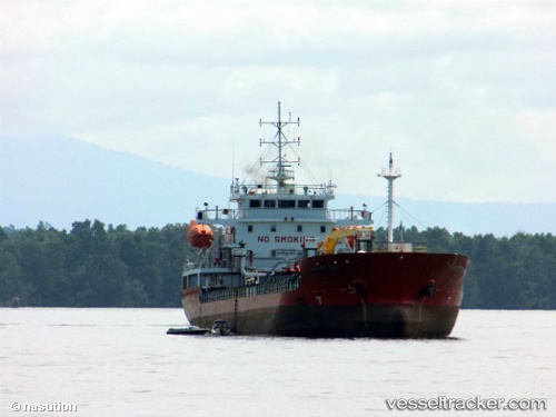
Vessel Mt Kapuas Marine IMO: 9717058, MMSI: 525018252 Oil Products Tanker
UTC, -7.12427, 112.66213, course: 0, speed: 0
UTC, -7.12420, 112.66231, course: 343, speed: 0
2026-02-21 17:46:46 UTC, -7.12341, 112.66280, course: 271, speed: 0
Live AIS position:
UTC. Near GRESIK),
updated 2026-02-21 17:46:46 UTC.
Find the position of the vessel Mt Kapuas Marine on the map. The latter are known coordinates and path.
marine traffic ship tracker show on live map
The current position of vessel Mt Kapuas Marine is -7.12341 lat / 112.66280 lng. Updated: 2026-02-21 17:46:46 UTCCurrently sailing under the flag of Indonesia
Details:
Last coordinates of the vessel:
UTC, -7.12422, 112.66230, course: 340, speed: 0.1UTC, -7.12427, 112.66213, course: 0, speed: 0
UTC, -7.12420, 112.66231, course: 343, speed: 0
2026-02-21 17:46:46 UTC, -7.12341, 112.66280, course: 271, speed: 0