 vesseltracker.com
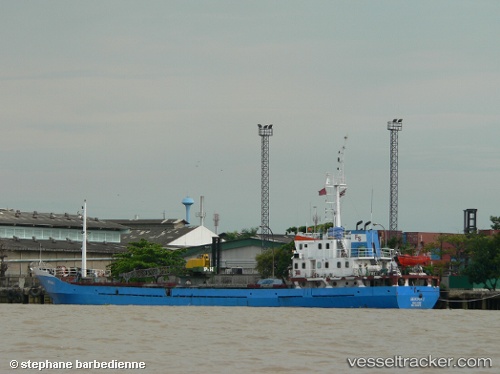
Vessel Berjaya 1 IMO: 9061679, MMSI: 525018461 General Cargo Ship
UTC, -2.02333, 116.88667, course: -1, speed: 7
UTC, -2.17167, 116.80167, course: -1, speed: 7
2026-02-22 04:17:46 UTC, -2.53000, 116.70667, course: -1, speed: 7
Live AIS position:
UTC. 48 nm NE of TANJUNG PEMANCINGAN),
updated 2026-02-22 04:17:46 UTC.
Find the position of the vessel Berjaya 1 on the map. The latter are known coordinates and path.
marine traffic ship tracker show on live map
The current position of vessel Berjaya 1 is -2.53000 lat / 116.70667 lng. Updated: 2026-02-22 04:17:46 UTCCurrently sailing under the flag of Indonesia
Berjaya 1 built in 1992 year
Deadweight:
1123 tDetails:
Last coordinates of the vessel:
UTC, -1.73333, 117.05333, course: -1, speed: 7UTC, -2.02333, 116.88667, course: -1, speed: 7
UTC, -2.17167, 116.80167, course: -1, speed: 7
2026-02-22 04:17:46 UTC, -2.53000, 116.70667, course: -1, speed: 7