 vesseltracker.com
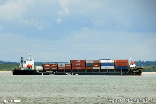
Vessel Mv Warih Mas IMO: 9672351, MMSI: 525019100 Container Ship
UTC, -4.24616, 115.49169, course: -1, speed: 8.2
UTC, -4.26167, 115.37500, course: -1, speed: 7
2026-01-14 00:45:47 UTC, -4.28167, 115.23333, course: -1, speed: 7
Live AIS position:
UTC. Near Jorong Anchorage),
updated 2026-01-14 00:45:47 UTC.
Find the position of the vessel Mv Warih Mas on the map. The latter are known coordinates and path.
marine traffic ship tracker show on live map
The current position of vessel Mv Warih Mas is -4.28167 lat / 115.23333 lng. Updated: 2026-01-14 00:45:47 UTCDetails:
Last coordinates of the vessel:
UTC, -4.23856, 115.55384, course: -1, speed: 8UTC, -4.24616, 115.49169, course: -1, speed: 8.2
UTC, -4.26167, 115.37500, course: -1, speed: 7
2026-01-14 00:45:47 UTC, -4.28167, 115.23333, course: -1, speed: 7