 vesseltracker.com
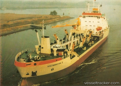
Vessel Tshd Kalimantan Ii IMO: 8201789, MMSI: 525019150 Hopper Dredger
Live AIS position:
UTC. Near Ancol),
updated 2026-01-25 08:18:22 UTC.
Find the position of the vessel Tshd Kalimantan Ii on the map. The latter are known coordinates and path.
marine traffic ship tracker show on live map
The current position of vessel Tshd Kalimantan Ii is -6.11226 lat / 106.86206 lng. Updated: 2026-01-25 08:18:22 UTCDetails:
Last coordinates of the vessel:
2026-01-25 08:18:22 UTC, -6.11226, 106.86206, course: -1, speed: 0