 vesseltracker.com
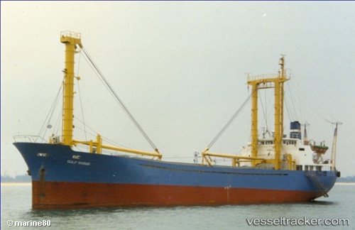
Vessel 525019307 IMO: 8309050, MMSI: 525019307
UTC, -6.25532, 110.96655, course: -1, speed: 6
UTC, -6.22132, 110.79622, course: -1, speed: 6.6
2026-01-29 05:57:57 UTC, -6.16148, 110.53160, course: -1, speed: 7.2
Live AIS position:
UTC. 20 nm NW of TANJUNG JATI),
updated 2026-01-29 05:57:57 UTC.
Find the position of the vessel 525019307 on the map. The latter are known coordinates and path.
marine traffic ship tracker show on live map
The current position of vessel 525019307 is -6.16148 lat / 110.53160 lng. Updated: 2026-01-29 05:57:57 UTCDetails:
Last coordinates of the vessel:
UTC, -6.32807, 111.29656, course: -1, speed: 7.6UTC, -6.25532, 110.96655, course: -1, speed: 6
UTC, -6.22132, 110.79622, course: -1, speed: 6.6
2026-01-29 05:57:57 UTC, -6.16148, 110.53160, course: -1, speed: 7.2