 vesseltracker.com
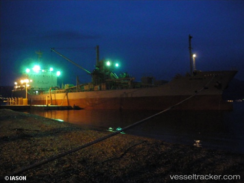
Vessel CEPAT IMO: 9047207, MMSI: 525019633 Cement Carrier
UTC, 16.94516, 54.02426, course: 227, speed: 0
UTC, 16.94509, 54.02423, course: 227, speed: 0
2026-02-03 12:05:32 UTC, 16.94513, 54.02423, course: 228, speed: 0
Live AIS position:
UTC. Near Port Raysut),
updated 2026-02-03 12:05:32 UTC.
Find the position of the vessel CEPAT on the map. The latter are known coordinates and path.
marine traffic ship tracker show on live map
The current position of vessel CEPAT is 16.94513 lat / 54.02423 lng. Updated: 2026-02-03 12:05:32 UTCCurrently sailing under the flag of Indonesia
CEPAT built in 1992 year
Deadweight:
8086 tDetails:
Last coordinates of the vessel:
UTC, 16.94517, 54.02422, course: 228, speed: 0UTC, 16.94516, 54.02426, course: 227, speed: 0
UTC, 16.94509, 54.02423, course: 227, speed: 0
2026-02-03 12:05:32 UTC, 16.94513, 54.02423, course: 228, speed: 0