vessel Surf Allamanda IMO: 9639866, Offshore Support Vessel
vesseltracker.com
Vessel Surf Allamanda IMO: 9639866, Offshore Support Vessel
MMSI: 525021439 callsign: YBKL2 size: 21x100

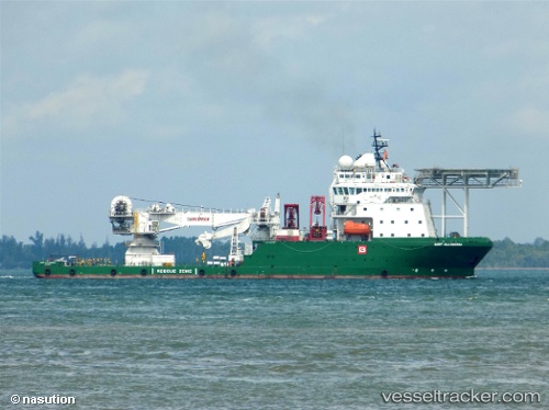
Find the position of the vessel Surf Allamanda on the map. The latter are known coordinates and path.

marine traffic ship tracker show on live map

The current position of vessel Surf Allamanda is -5.864625 lat / 105.75818166667 lng. Updated: 2025-10-16 13:31:11 UTC
Details:


Last coordinates of the vessel:
2025-10-16 13:31:11 UTC, -5.864625, 105.75818166667, course: -1, speed: 0

Track of the vessel in the last 14 days


Most frequent ports a vessels calls at Surf Allamanda (525021439):

Sambu, traffic: 9
Balikpapan, traffic: 9

Link to the map:


Find another ship

Surf_Allamanda (525021439) last ports (portcalls and passsages)

Sambu | 2022-10-24 01:41:20
Sambu | 2022-10-19 22:51:32
Balikpapan | 2022-10-12 11:01:21
Balikpapan | 2022-10-04 23:04:53
Balikpapan | 2022-09-04 23:01:58
Balikpapan | 2022-07-18 14:07:00
Balikpapan | 2022-06-30 13:31:33
Balikpapan | 2022-06-21 13:10:35
Balikpapan | 2022-06-16 13:02:43
Sambu | 2022-06-07 04:12:44
Sambu | 2022-05-30 01:51:46
Sambu | 2022-05-20 01:12:20
Sambu | 2022-05-14 14:08:07
Sambu | 2022-05-10 13:39:43
Sambu | 2022-05-06 13:09:12
Sambu | 2022-05-02 12:19:31