 vesseltracker.com
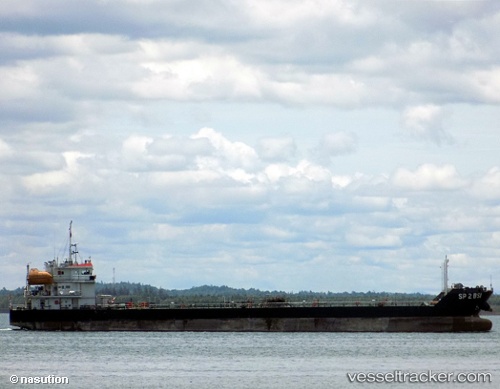
Vessel Sp 2 Bsi IMO: 9704154, MMSI: 525022304 Bunkering Tanker
UTC, -1.18167, 116.78333, course: -1, speed: 0
UTC, -1.18167, 116.78333, course: -1, speed: 0
2026-02-18 22:29:01 UTC, -1.18167, 116.78333, course: -1, speed: 0
Live AIS position:
UTC. Near KARIANGAU),
updated 2026-02-18 22:29:01 UTC.
Find the position of the vessel Sp 2 Bsi on the map. The latter are known coordinates and path.
marine traffic ship tracker show on live map
The current position of vessel Sp 2 Bsi is -1.18167 lat / 116.78333 lng. Updated: 2026-02-18 22:29:01 UTCCurrently sailing under the flag of Indonesia
Sp 2 Bsi built in 2013 year
Deadweight:
3500 tDetails:
Last coordinates of the vessel:
UTC, -1.18260, 116.78379, course: 1, speed: 0UTC, -1.18167, 116.78333, course: -1, speed: 0
UTC, -1.18167, 116.78333, course: -1, speed: 0
2026-02-18 22:29:01 UTC, -1.18167, 116.78333, course: -1, speed: 0