 vesseltracker.com
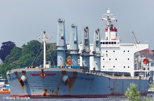
Vessel Manalagi Samba IMO: 9254501, MMSI: 525100268 Bulk Carrier
UTC, -1.13217, 117.20767, course: 305, speed: 0
UTC, -1.13208, 117.20770, course: 300, speed: 0.1
2026-02-21 12:20:41 UTC, -1.13220, 117.20762, course: 305, speed: 0
Live AIS position:
UTC. Near Senipah Oil Terminal),
updated 2026-02-21 12:20:41 UTC.
Find the position of the vessel Manalagi Samba on the map. The latter are known coordinates and path.
marine traffic ship tracker show on live map
The current position of vessel Manalagi Samba is -1.13220 lat / 117.20762 lng. Updated: 2026-02-21 12:20:41 UTCDetails:
Last coordinates of the vessel:
UTC, -1.13240, 117.20755, course: 314, speed: 0.1UTC, -1.13217, 117.20767, course: 305, speed: 0
UTC, -1.13208, 117.20770, course: 300, speed: 0.1
2026-02-21 12:20:41 UTC, -1.13220, 117.20762, course: 305, speed: 0