 vesseltracker.com
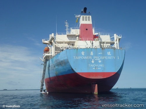
Find the position of the vessel MANALAGI ASTA on the map. The latter are known coordinates and path.
marine traffic ship tracker show on live map
The current position of vessel MANALAGI ASTA is -5.98113 lat / 106.11109 lng. Updated: 2025-10-01 14:33:05 UTCCurrently sailing under the flag of Indonesia
MANALAGI ASTA built in 2000 year
Deadweight:
88005 tDetails:
Last coordinates of the vessel:
UTC, -5.98105, 106.11105, course: 93, speed: 0UTC, -5.98106, 106.11108, course: 93, speed: 0
UTC, -5.98108, 106.11108, course: 93, speed: 0
2025-10-01 14:33:05 UTC, -5.98113, 106.11109, course: 93, speed: 0