 vesseltracker.com
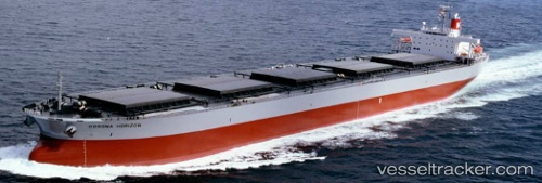
Vessel '525101413' IMO: 9217668, MMSI: 525101413
UTC, -5.98404, 106.10979, course: -1, speed: 0
UTC, -5.98405, 106.10978, course: -1, speed: 0
2026-01-27 20:19:10 UTC, -5.98405, 106.10978, course: -1, speed: 0
Live AIS position:
UTC. Near CILEGON),
updated 2026-01-27 20:19:10 UTC.
Find the position of the vessel '525101413' on the map. The latter are known coordinates and path.
marine traffic ship tracker show on live map
The current position of vessel '525101413' is -5.98405 lat / 106.10978 lng. Updated: 2026-01-27 20:19:10 UTCDetails:
Last coordinates of the vessel:
UTC, -5.98406, 106.10977, course: -1, speed: 0UTC, -5.98404, 106.10979, course: -1, speed: 0
UTC, -5.98405, 106.10978, course: -1, speed: 0
2026-01-27 20:19:10 UTC, -5.98405, 106.10978, course: -1, speed: 0