 vesseltracker.com
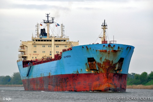
Vessel GRAND POWER IMO: 9236999, MMSI: 525103007 Oil Products Tanker
UTC, -6.09908, 106.90597, course: 2, speed: 0
UTC, -6.09908, 106.90597, course: 2, speed: 0
2026-03-21 21:34:29 UTC, -6.09908, 106.90596, course: 2, speed: 0
Live Vessel GRAND POWER Analytics (details, animations, etc.)
Live AIS position: UTC. Near New Priok Port), updated 2026-03-21 21:34:29 UTC.Find the position of the vessel GRAND POWER on the map. The latter are known coordinates and path.
marine traffic ship tracker show on live map
The current position of vessel GRAND POWER is -6.09908 lat / 106.90596 lng. Updated: 2026-03-21 21:34:29 UTCCurrently sailing under the flag of Indonesia
Details:
Last coordinates of the vessel:
UTC, -6.09908, 106.90596, course: 2, speed: 0UTC, -6.09908, 106.90597, course: 2, speed: 0
UTC, -6.09908, 106.90597, course: 2, speed: 0
2026-03-21 21:34:29 UTC, -6.09908, 106.90596, course: 2, speed: 0