 vesseltracker.com
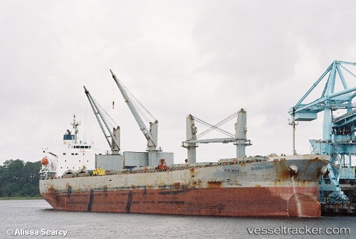
Find the position of the vessel KARUNIA GEMILANG I on the map. The latter are known coordinates and path.
marine traffic ship tracker show on live map
The current position of vessel KARUNIA GEMILANG I is -7.74021 lat / 109.12200 lng. Updated: 2025-10-13 16:03:00 UTCCurrently sailing under the flag of Indonesia
KARUNIA GEMILANG I built in 2002 year
Deadweight:
53098 tDetails:
Last coordinates of the vessel:
UTC, -7.74083, 109.12007, course: 119, speed: 0.2UTC, -7.74016, 109.12141, course: 177, speed: 0.1
UTC, -7.74020, 109.12112, course: 161, speed: 0.2
2025-10-13 16:03:00 UTC, -7.74021, 109.12200, course: 197, speed: 0.1