 vesseltracker.com
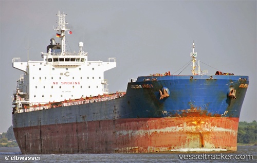
Vessel KENCANA BARUNA IMO: 9470399, MMSI: 525112013 Cargo
UTC, 0.03435, 117.53423, course: 155, speed: 0
UTC, 0.03439, 117.53423, course: 155, speed: 0
2026-02-26 01:48:04 UTC, 0.03434, 117.53420, course: 155, speed: 0.1
Live AIS position:
UTC. Near Tanjung Merangas),
updated 2026-02-26 01:48:04 UTC.
Find the position of the vessel KENCANA BARUNA on the map. The latter are known coordinates and path.
marine traffic ship tracker show on live map
The current position of vessel KENCANA BARUNA is 0.03434 lat / 117.53420 lng. Updated: 2026-02-26 01:48:04 UTCCurrently sailing under the flag of Indonesia
Details:
Last coordinates of the vessel:
UTC, 0.03639, 117.53997, course: 221, speed: 2.6UTC, 0.03435, 117.53423, course: 155, speed: 0
UTC, 0.03439, 117.53423, course: 155, speed: 0
2026-02-26 01:48:04 UTC, 0.03434, 117.53420, course: 155, speed: 0.1