 vesseltracker.com
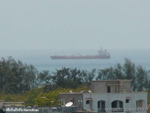
Find the position of the vessel Bintang Samudra T on the map. The latter are known coordinates and path.
marine traffic ship tracker show on live map
The current position of vessel Bintang Samudra T is -5.8867 lat / 105.993 lng. Updated: 2025-08-02 23:00:31 UTCDetails:
Last coordinates of the vessel:
UTC, -5.88795, 105.992, course: 96, speed: 0UTC, -5.88667, 105.992, course: -1, speed: 0
UTC, -5.8866, 105.993, course: 179, speed: 0
2025-08-02 23:00:31 UTC, -5.8867, 105.993, course: 197, speed: 0