 vesseltracker.com
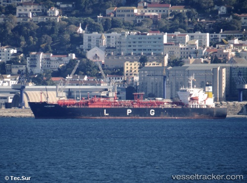
Vessel PRIMA LAUTAN I IMO: 9262948, MMSI: 525119145 LPG Tanker
UTC, -5.84045, 106.41003, course: 260, speed: 13.6
UTC, -5.86647, 106.02273, course: 226, speed: 4.6
2026-03-13 05:06:14 UTC, -5.87255, 106.01580, course: -1, speed: 0.1
Live Vessel PRIMA LAUTAN I Analytics (details, animations, etc.)
Live AIS position: UTC. Near SURALAYA), updated 2026-03-13 05:06:14 UTC.Find the position of the vessel PRIMA LAUTAN I on the map. The latter are known coordinates and path.
marine traffic ship tracker show on live map
The current position of vessel PRIMA LAUTAN I is -5.87255 lat / 106.01580 lng. Updated: 2026-03-13 05:06:14 UTCCurrently sailing under the flag of Indonesia
PRIMA LAUTAN I built in 2003 year
Deadweight:
19621 tDetails:
Last coordinates of the vessel:
UTC, -5.94785, 106.88947, course: 5, speed: 12.5UTC, -5.84045, 106.41003, course: 260, speed: 13.6
UTC, -5.86647, 106.02273, course: 226, speed: 4.6
2026-03-13 05:06:14 UTC, -5.87255, 106.01580, course: -1, speed: 0.1