 vesseltracker.com
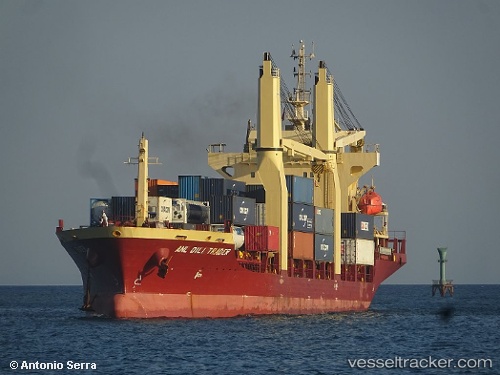
Vessel MERATUS PANGKALPINANG IMO: 9371945, MMSI: 525125022 General Cargo Ship
UTC, -7.18037, 112.69490, course: 271, speed: 0
UTC, -7.18087, 112.69518, course: 290, speed: 0
2026-02-18 00:20:28 UTC, -7.18126, 112.69508, course: 312, speed: 0
Live AIS position:
UTC. Near Kalianak Barat),
updated 2026-02-18 00:20:28 UTC.
Find the position of the vessel MERATUS PANGKALPINANG on the map. The latter are known coordinates and path.
marine traffic ship tracker show on live map
The current position of vessel MERATUS PANGKALPINANG is -7.18126 lat / 112.69508 lng. Updated: 2026-02-18 00:20:28 UTCCurrently sailing under the flag of Indonesia
MERATUS PANGKALPINANG built in 2007 year
Deadweight:
7853 tDetails:
Last coordinates of the vessel:
UTC, -7.17976, 112.69290, course: 141, speed: 0UTC, -7.18037, 112.69490, course: 271, speed: 0
UTC, -7.18087, 112.69518, course: 290, speed: 0
2026-02-18 00:20:28 UTC, -7.18126, 112.69508, course: 312, speed: 0