 vesseltracker.com
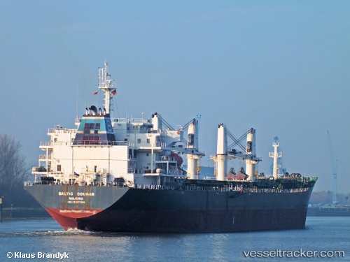
Vessel 525125028 IMO: 9387358, MMSI: 525125028
UTC, 1.24500, 103.80333, course: -1, speed: 0
UTC, 1.24801, 103.80185, course: 135, speed: 0.5
2026-01-30 11:43:30 UTC, 1.24736, 103.80145, course: 101, speed: 0.3
Live AIS position:
UTC. Near Pasir Panjang Wharves),
updated 2026-01-30 11:43:30 UTC.
Find the position of the vessel 525125028 on the map. The latter are known coordinates and path.
marine traffic ship tracker show on live map
The current position of vessel 525125028 is 1.24736 lat / 103.80145 lng. Updated: 2026-01-30 11:43:30 UTCDetails:
Last coordinates of the vessel:
UTC, 1.24730, 103.80426, course: 264, speed: 0UTC, 1.24500, 103.80333, course: -1, speed: 0
UTC, 1.24801, 103.80185, course: 135, speed: 0.5
2026-01-30 11:43:30 UTC, 1.24736, 103.80145, course: 101, speed: 0.3