 vesseltracker.com
Find the position of the vessel Aliyah Pratama on the map. The latter are known coordinates and path.
marine traffic ship tracker show on live map
The current position of vessel Aliyah Pratama is -3.70648 lat / 114.45635 lng. Updated: 2025-11-15 22:46:44 UTCCurrently sailing under the flag of Indonesia
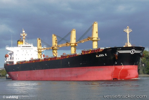
Aliyah Pratama built in 2001 year
Deadweight:
52413 tDetails:
Last coordinates of the vessel:
UTC, -3.79988, 114.45338, course: 315, speed: 0UTC, -3.79858, 114.45443, course: 284, speed: 0
UTC, -3.79915, 114.45320, course: 290, speed: 0.2
2025-11-15 22:46:44 UTC, -3.70648, 114.45635, course: 0, speed: 4.8