 vesseltracker.com
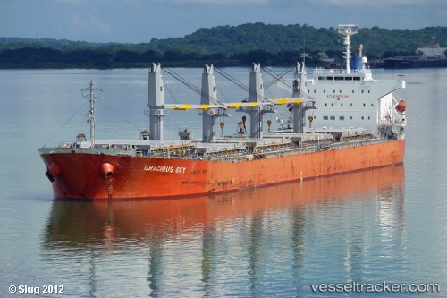
Find the position of the vessel Aliyah Permata on the map. The latter are known coordinates and path.
marine traffic ship tracker show on live map
The current position of vessel Aliyah Permata is 1.18268 lat / 103.984 lng. Updated: 2025-09-07 22:22:08 UTCCurrently sailing under the flag of Indonesia
Aliyah Permata built in 2005 year
Deadweight:
53478 tDetails:
Last coordinates of the vessel:
UTC, 1.18362, 103.983, course: -1, speed: 0UTC, 1.1833, 103.984, course: -1, speed: 0.2
UTC, 1.18307, 103.984, course: -1, speed: 0
2025-09-07 22:22:08 UTC, 1.18268, 103.984, course: -1, speed: 0.1