 vesseltracker.com
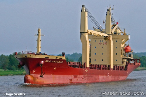
Vessel DETROIT MAS IMO: 9393503, MMSI: 525201331 General Cargo Ship
UTC, -6.09534, 106.87975, course: 0, speed: 0
UTC, -6.09534, 106.87975, course: 0, speed: 0
2026-03-15 06:59:09 UTC, -6.09534, 106.87975, course: 0, speed: 0
Live Vessel DETROIT MAS Analytics (details, animations, etc.)
Live AIS position: UTC. Near Jakarta), updated 2026-03-15 06:59:09 UTC.Find the position of the vessel DETROIT MAS on the map. The latter are known coordinates and path.
marine traffic ship tracker show on live map
The current position of vessel DETROIT MAS is -6.09534 lat / 106.87975 lng. Updated: 2026-03-15 06:59:09 UTCCurrently sailing under the flag of Indonesia
DETROIT MAS built in 2008 year
Deadweight:
7709 tDetails:
Last coordinates of the vessel:
UTC, -6.09533, 106.87975, course: 0, speed: 0UTC, -6.09534, 106.87975, course: 0, speed: 0
UTC, -6.09534, 106.87975, course: 0, speed: 0
2026-03-15 06:59:09 UTC, -6.09534, 106.87975, course: 0, speed: 0